St. Thomas weather in short
St. Thomas has a tropical climate. Daily highs stay between the mid 80s and about 90°F (29 to 32°C) in every month, and nights stay in the 70s°F (23 to 26°C). The big change over the year is rainfall. February and March are the driest months on average, and September to November the wettest.
The figures here are climate normals, meaning long-term averages for 1991 to 2020 from the Charlotte Amalie airport station, published by NOAA in an October 2026 summary. They describe a typical month, not a forecast and not the weather in 2026. Highs and lows are average daily highs and lows, not records.
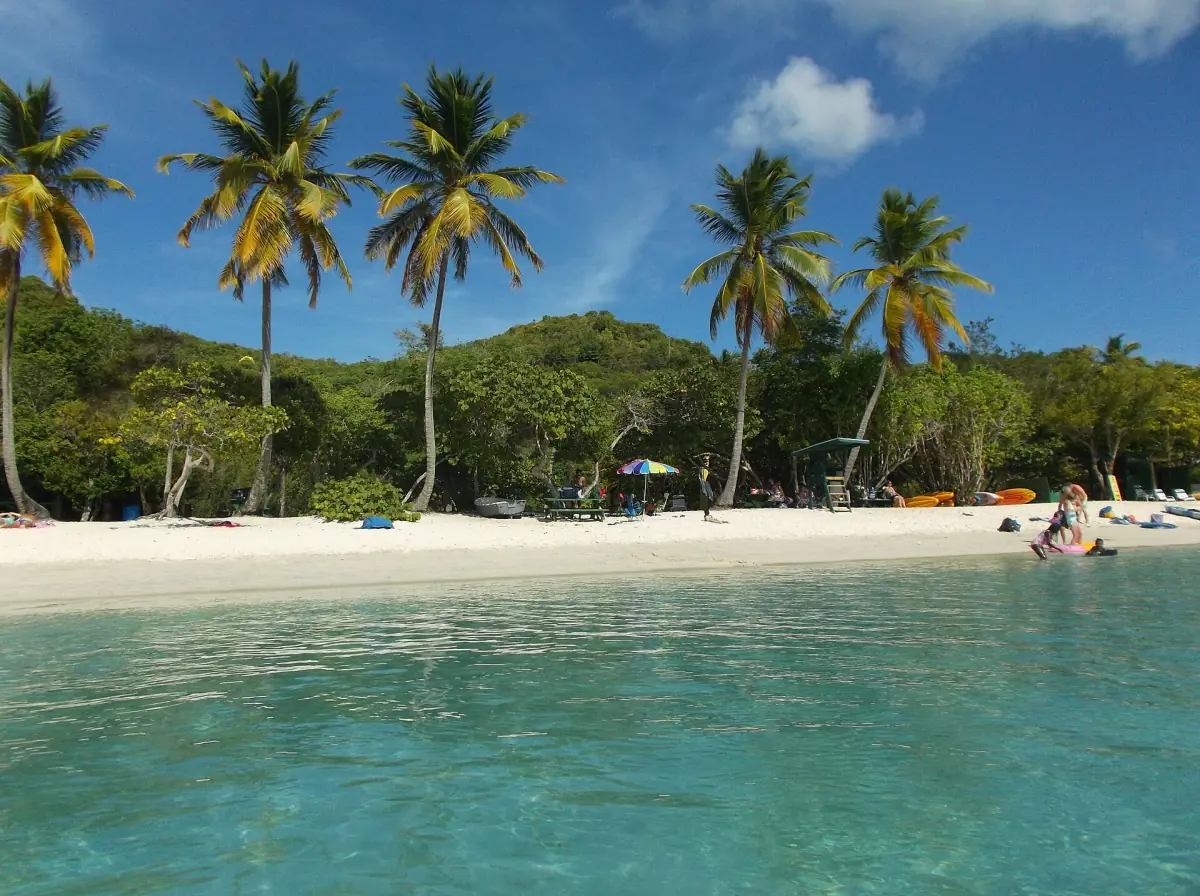
St. Thomas climate by month
Average daily high and low, and average monthly rainfall. Station: Charlotte Amalie airport, 1991 to 2020 normals.
| Month | Average high | Average low | Average rain | Note |
|---|---|---|---|---|
| January | 84°F (28.9°C) | 74°F (23.1°C) | 2.6 in (67.1 mm) | Moderate rain |
| February | 84°F (29.1°C) | 74°F (23.1°C) | 1.9 in (48.3 mm) | One of the driest months |
| March | 85°F (29.2°C) | 74°F (23.2°C) | 1.9 in (47.2 mm) | Driest month on average |
| April | 86°F (29.8°C) | 76°F (24.2°C) | 2.2 in (56.9 mm) | Still dry, getting warmer |
| May | 87°F (30.7°C) | 78°F (25.3°C) | 3.0 in (76.7 mm) | More rain than April |
| June | 89°F (31.6°C) | 79°F (26.3°C) | 2.4 in (59.7 mm) | Hurricane season starts |
| July | 90°F (32.1°C) | 79°F (26.3°C) | 2.9 in (73.9 mm) | Hottest highs, with August |
| August | 90°F (32.1°C) | 80°F (26.4°C) | 4.4 in (111.0 mm) | Rain increases |
| September | 89°F (31.8°C) | 80°F (26.4°C) | 5.9 in (149.6 mm) | Very wet |
| October | 88°F (31.3°C) | 78°F (25.7°C) | 5.3 in (134.1 mm) | Very wet |
| November | 87°F (30.3°C) | 77°F (24.8°C) | 6.1 in (153.9 mm) | Wettest month, season ends Nov 30 |
| December | 85°F (29.6°C) | 75°F (23.8°C) | 2.9 in (74.4 mm) | Rain eases |
Fahrenheit values are converted from the NOAA figures and rounded to whole degrees. Millimeters are given as published and inches are rounded to one decimal.
Tours and boat trips on St. Thomas
Catamaran sails, snorkeling, island tours and day trips for any month, with live prices and availability.
Best time to visit St. Thomas
There is no perfect month, only trade-offs.
February to April
These months have the lowest average rainfall, between 1.9 and 2.2 inches. Highs are 84 to 86°F (29 to 30°C). This is the best match if you want the most dry days, though no month guarantees a rain-free trip.
December and January
Rain is moderate at 2.6 to 2.9 inches, and the days are among the coolest of the year, with highs of 84 and 85°F. Both months fall outside hurricane season.
May to July
It gets hotter, with highs of 87 to 90°F (31 to 32°C), while average rain stays between 2.4 and 3.0 inches. Hurricane season starts on June 1.
August to November
This is the wettest stretch, with 4.4 inches in August rising to 6.1 inches in November. It also lies inside hurricane season. If you travel then, read your booking's cancellation terms and watch the forecast.
Costs and crowds vary by month, and the table does not cover them. Check current rates when you compare dates. For where to base yourself, see where to stay.
Hurricane season
The Atlantic hurricane season runs from June 1 to November 30 officially. Storms can also form outside those dates. NOAA's outlook for the 2026 season, published May 21, 2026, says nothing about a given travel date or about a landfall on St. Thomas.
Hurricanes Irma and Maria caused heavy damage in 2017. Recovery work continues, and a progress report published on February 6, 2026 announced further building projects for 2026 and 2027. That does not mean every hotel or attraction is open or closed, so check the place you plan to visit.
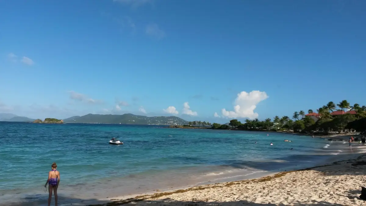
Rain, water quality and sun
What the weather does to the beaches.
Weekly water tests
The territory tests beach water every week. More than 70 enterococci colonies per 100 ml means the water is not safe for swimming. A beach that was not sampled is unknown, not closed. Coki Point, for example, was flagged in four weekly reports between September 4 and October 2, 2026, and the report of October 16, 2026 showed the listed St. Thomas beaches meeting the standard.
After heavy rain
Stay out of water with sewage, rain runoff, large amounts of sargassum, discoloration or a bad smell. A good weekly test does not clear water that looks or smells wrong. Lindquist Beach, for instance, was closed to swimming for sargassum in a notice published July 5, 2026. That notice says nothing about later weeks.
Sunscreen rules
The USVI ban sunscreens with oxybenzone, octinoxate or octocrylene. Use a mineral, non-nano product and read the ingredients, because "reef safe" on the label is not a reliable guarantee.
Weather and boat trips
Boat operators can change or cancel trips for weather, and for a minimum number of guests. Ask about the policy when you book.
Plan the rest of your trip
Weather matters most for beaches, boats and ports.

St. Thomas weather: frequently asked questions
What is the best month to visit St. Thomas?
For the least rain, choose February, March or April. Their average rainfall is 1.9 to 2.2 inches, and highs are 84 to 86°F. The weather is never guaranteed, since the figures are long-term averages.
When is the rainy season on St. Thomas?
August to November. September, October and November average 5.3 to 6.1 inches of rain, and November is the wettest month at 6.1 inches (153.9 mm).
How hot does St. Thomas get?
The average daily high reaches 90°F (32.1°C) in July and August. January's average high is the lowest, at 84°F (28.9°C), and average lows stay between 74 and 80°F.
When is hurricane season on St. Thomas?
The Atlantic hurricane season runs from June 1 to November 30. Storms can occur outside it. A seasonal outlook does not tell you whether a storm will hit St. Thomas on your dates.
Are these numbers the weather for 2026?
No. They are 1991 to 2020 averages from NOAA for the Charlotte Amalie airport station. Use a current forecast for your travel dates.